


Custom maps
Admin > Settings > Maps
By default, Metabase uses OpenStreetMaps tiles for pin and grid map visualizations, and comes with two built-in region maps - world countries and US states. You can change the tiles used for pin and grid maps, and upload additional region maps.
To find the map settings:
- At the top right of the screen, click grid icon > Admin > Settings.
- Select
Mapsfrom the navigation on the left.
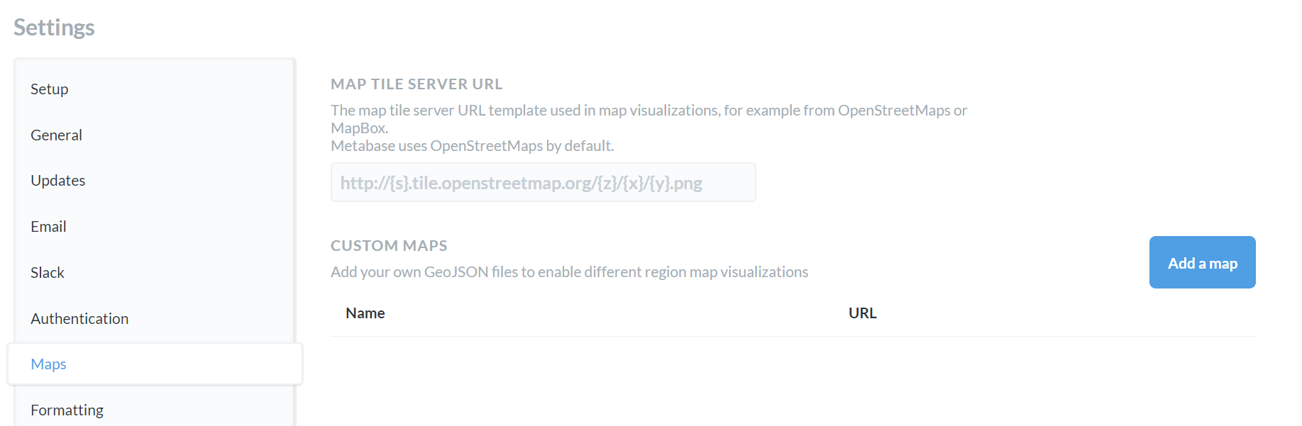
Map tile server
By default, Metabase uses the OpenStreetMaps tile server for pin and grid maps. If your organization requires a different look or level of detail in your map visualizations, you can change the map tile server by adding the map tile server path to the first field on the page.
To change the map tile server:
- Go to Admin > Settings > Maps.
-
Under Map tile server URL, add the path to the new map tile server.
The path must either be a URL that starts with
http://orhttps://or a relative path to a local file in the JVM’s classpath.
Currently, Metabase uses a single tile server per instance. You can’t specify different tiles for different maps.
Custom region maps
Metabase comes with two built-in region maps: world map with countries and United States map with states.
If you need a map of other regions - like EU countries or NYC neighborhoods - you can specify a GeoJSON file containing region information. You can often find GeoJSON maps by searching online for “[Your region] + geojson”, like “NYC neighborhoods GeoJSON.” Many community members and government organizations have already developed map files for common regions. You can also create your own GeoJSON with a tool like MapShaper or GeoJSON.io.
Custom geoJSON requirements
Your GeoJSON file should:
- Be less than 5 MB in size.
- Contain polygon features defining regions (not just points or coordinates)
- Use geographic coordinates (latitude and longitude) to define region polygons. Metabase doesn’t support projected coordinates, so you’ll need to convert projected coordinates to geographic coordinates.
- Accessible by a public URL. Currently, you can’t upload a GeoJSON to Metabase.
Add a custom map
To add a custom map:
- Click the grid icon, then go to Admin > Settings > Maps > Custom Maps.
- Click Add a Map.
- Enter a name for your map.
- Provide the URL to your GeoJSON file.
-
Specify the JSON properties that should serve as region identifier and region name.
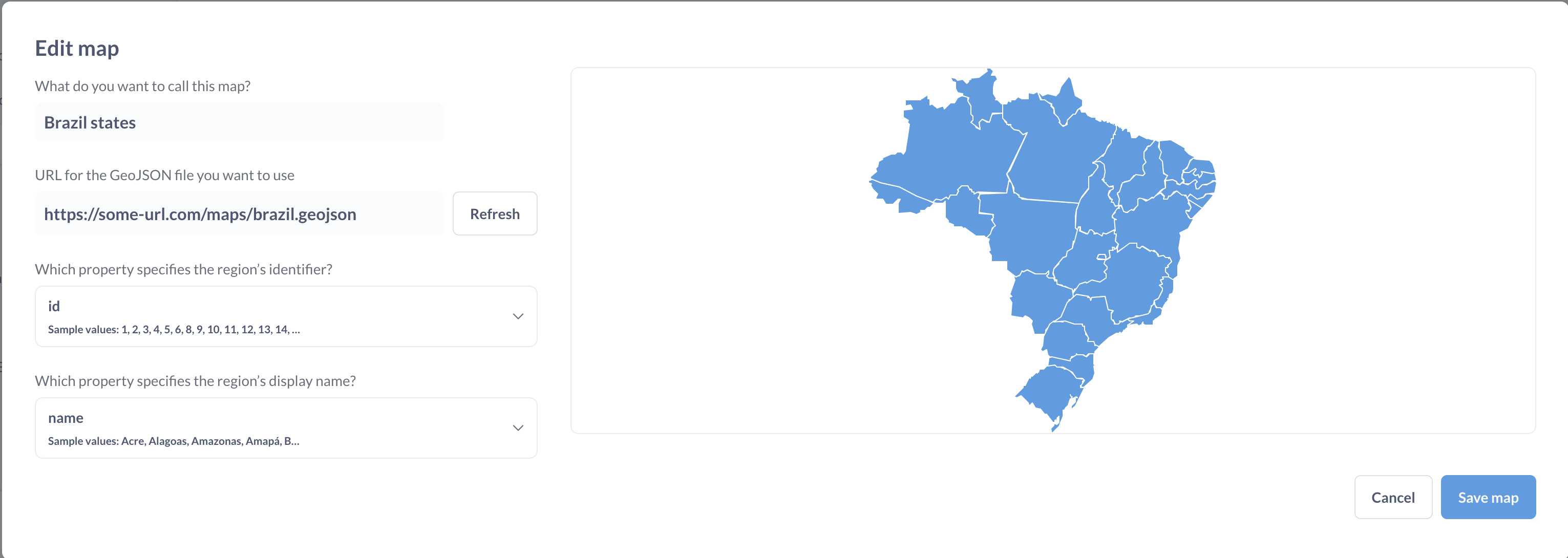
- Name of the map will be displayed in the region selector for custom region maps.
- Region’s identifier is a GeoJSON field that identifies your region. The values in this field should match how the data refers to the regions. The field doesn’t need to match the display name.
- Region’s display name is a GeoJSON field that specifies how maps will display region names. This field can be different from the region’s identifier.
To pre-load one or more region maps when Metabase starts, you can use the environment variable MB_CUSTOM_GEOJSON or a config file option custom-geojson .
To disable the creation of custom maps, use the MB_CUSTOM_GEOJSON_ENABLED or a config file option custom-geojson-enabled.
Read docs for other versions of Metabase.